Over the mountains: the Transcentral Highway and Mount Manunggal
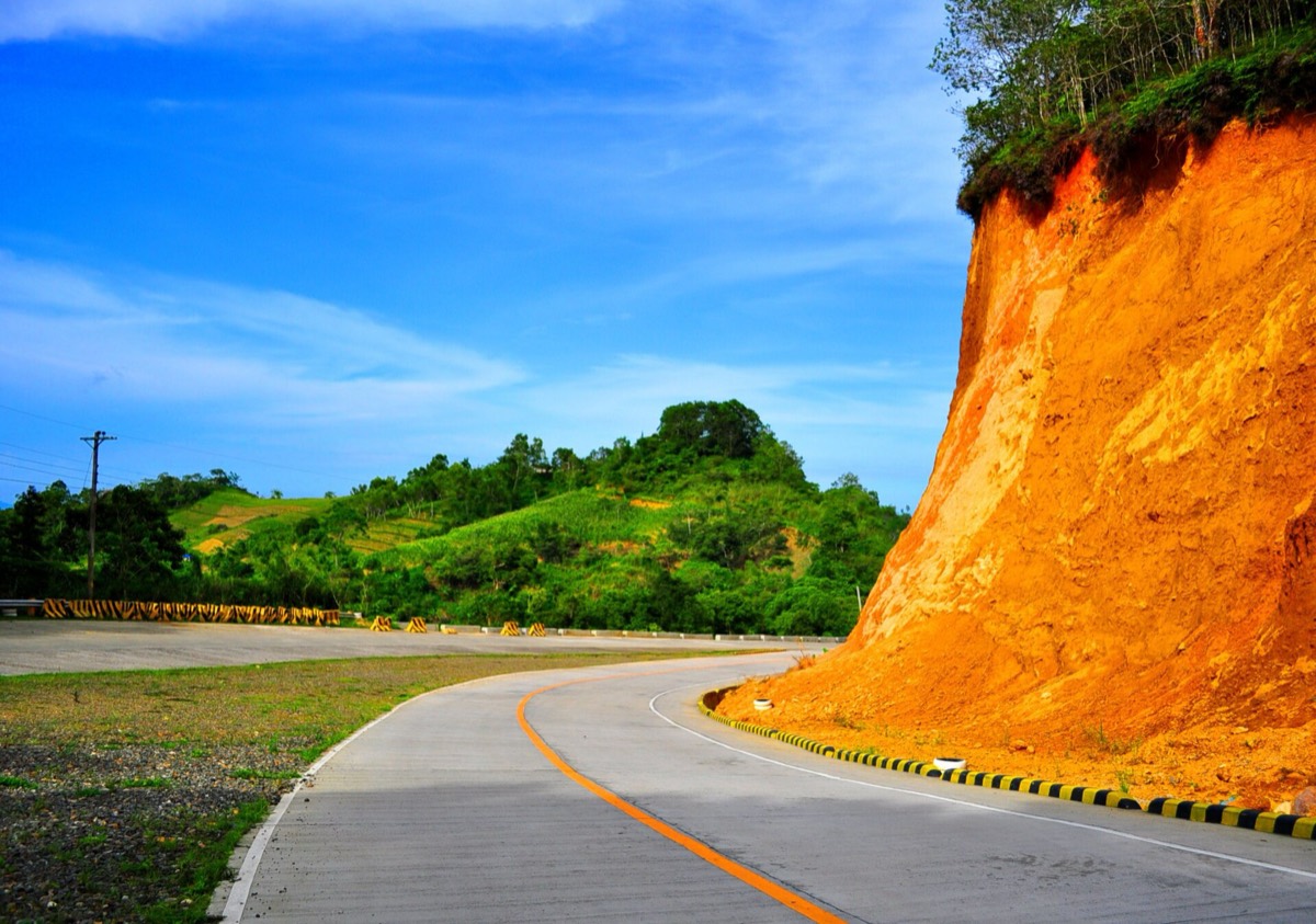
A road across Cebu’s mountain spine, past flower fields and pine-covered ridges, to the memorial where a beloved president died in 1957.

- Area
- Highlands & heritage
- Start from
- Cebu City
- Distance
- about 60 km to Balamban
- Time needed
- 1 day
- Best season
- Best December – May; misty mornings all year
- Difficulty
- Moderate
- Transport
- Hired car or habal-habal
- Tickets & rules
- Small fees at viewpoints and parks
Why go
The Transcentral Highway climbs from Cebu City into the island’s central mountains and down to Balamban on the west coast. It’s a winding, scenic drive with roadside stalls selling fruit and vegetables, views over both coasts, and air that feels fresh after the city.
Mount Manunggal, one of Cebu’s higher peaks, is a quiet place with pine trees, campsites and a simple memorial to President Ramon Magsaysay, whose plane crashed here. It’s a calm, reflective spot, with views over forested ridges and, on clear days, the sea far below.
Along the way there are small parks and viewpoints, and the town of Balamban, on the west coast, has a seafront and a big shipbuilding industry, where huge vessels are built for companies around the world.
The story
Ramon Magsaysay was President of the Philippines from 1953 and was hugely popular, especially among ordinary people. On 17 March 1957, his plane crashed on Mount Manunggal after he spoke at an event in Cebu City; he and most of those on board died. The memorial on the mountain marks the site, and every year on the anniversary, people gather to remember him.
The Transcentral Highway was built to connect Cebu City with the west coast, cutting through mountains that had long separated communities. It made it possible for farmers to send vegetables and flowers to the city markets.
Balamban grew in recent decades as a shipbuilding centre, with large shipyards building bulk carriers and other ships for international clients. The contrast between the quiet mountains and the huge industrial cranes on the coast is striking.
The mountains here are part of the Central Cebu Protected Landscape, which protects some of the island’s last patches of native forest. Cebu lost most of its original forest long ago to farming and logging, and the survivors here shelter rare birds like the Cebu flowerpecker, which was thought to be extinct until it was rediscovered in the early 1990s. Birdwatchers still come hoping for a glimpse, usually with little luck and a lot of patience.
Up here the farms are small and steep. People grow corn, vegetables, flowers and fruit on slopes that seem impossible to work, and on weekends roadside stalls sell bananas, mangoes and hot corn to city families driving up for cooler air. Stopping at one for coffee and a chat is half the point of the drive.
Getting there
A hired car from Cebu City is the easiest way; the drive to Manunggal takes about an hour and a half, depending on the road. Habal-habal drivers also go up from Balamban or the highway junctions.
Roads are steep and winding, and fog can be thick in the mornings.
A suggested plan
- 7:00Leave Cebu City on the Transcentral Highway.
- 8:30Stop at viewpoints and roadside stalls for fruit and coffee.
- 10:00Mount Manunggal: walk to the memorial and through the pines.
- 12:30Lunch on the way down to Balamban.
- 15:00Balamban seafront, then return over the mountains.
Where to stay
Most people do this as a day trip from Cebu City. Campsites on Manunggal allow an overnight under the stars if you bring your own gear.
Good to know
- Start early for clear views; clouds build in the afternoon.
- Bring a jacket; it can be cool on the mountain.
- Buy fruit and vegetables at the roadside stalls.
- Ask your driver about road conditions after rain.
- Roads are steep and winding; drive carefully and avoid riding at night.
- Fog can reduce visibility suddenly.
- Landslides can block roads after heavy rain.