Pantai Kok and the beach of skulls
A quiet coastal drive from the bay under the mountains to a small public cove with a grim name, golden sand and almost nobody on it.

- Area
- Machinchang & the west
- Start from
- Pantai Kok
- Distance
- about 15 km along the west coast road
- Time needed
- half a day
- Best season
- November – April for calm water
- Difficulty
- Easy
- Transport
- Scooter, car or taxi
- Tickets & rules
- None
Why go
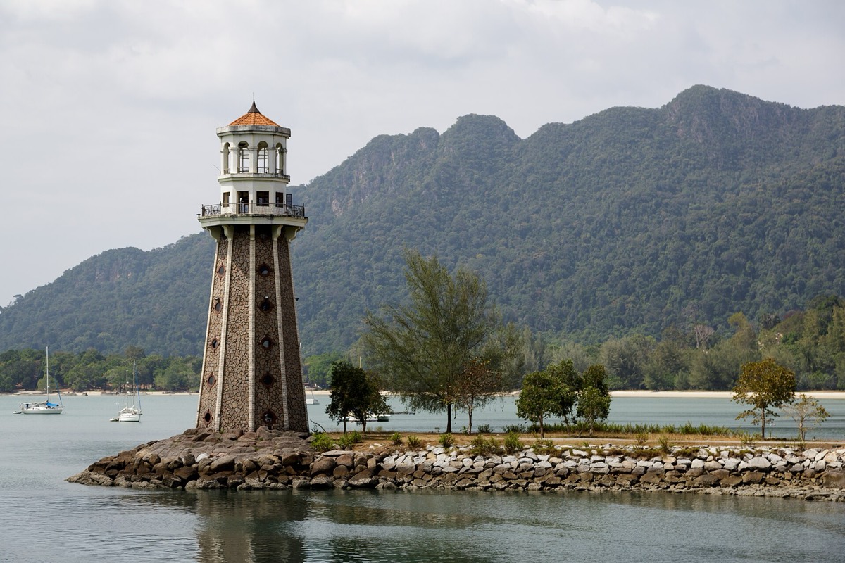
Pantai Kok is the bay at the foot of Machinchang, with calm water, a marina and a handful of resorts. It is much quieter than Pantai Cenang, and the mountain rising directly behind the sand gives it a dramatic, almost cinematic feel, especially in late afternoon when the light turns the cliffs orange.
From here the road runs north-west along the coast, through forest and past small coves, toward the Datai junction. A small turn leads to Pantai Pasir Tengkorak, the Skull Sand Beach: a crescent of pale sand with clear water and big boulders at each end, backed by forest.
It is a public beach with a car park, toilets and picnic shelters, popular with local families at weekends and nearly empty on weekdays. The water is calm in the dry season, and there are no jet skis and no bars, which is exactly the point.
The story
The name Pasir Tengkorak, ‘skull sand’, comes from a story about a ship that sank nearby long ago. According to local telling, the bodies of the drowned washed up here and the bones lay on the sand, and fishermen avoided the cove for years. Another version says the currents around the headland were so treacherous that boats wrecked here often.
Whatever the truth, nothing about the beach today feels sinister. Fishermen still pass by in small boats, and in the mornings you can see macaques picking through the tideline for crabs and shellfish, sometimes standing in the shallows like they are wading for fun.
Pantai Kok itself has a more modern story. The marina and resorts were built during Langkawi’s development boom in the 1990s, when the island became a duty-free zone and the government invested heavily in roads, airports and tourism. Before that, it was a fishing area with a few wooden houses.
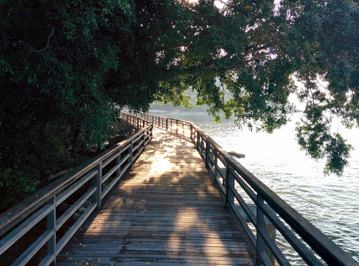
The road between the two is one of the prettiest on the island, with sudden glimpses of sea through the trees. Locals call this whole stretch the ‘jungle road’, and it is a favourite with cyclists.

Getting there
Pantai Kok is about 20 minutes by taxi from Pantai Cenang. From there, Pasir Tengkorak is around 20 minutes further by car along the coast road toward Datai.
There is no public transport; a rented scooter or car gives you freedom to stop at viewpoints. Ride-hailing cars come out here, but arranging a return can take time.
A suggested plan
- MorningCoffee at Pantai Kok and a walk along the bay under the mountain.
- Mid-morningDrive the coastal road north, stopping at viewpoints.
- Late morningSwim and laze at Pasir Tengkorak.
- LunchPicnic, or continue to the Datai area or the north coast for food.
- AfternoonReturn to Pantai Kok for sunset over the bay.
Where to stay
Pantai Kok has several resorts and some smaller guesthouses back from the shore. It is a good base for the cable car, Seven Wells and the jungle road, though food choices are fewer than at Cenang.
Good to know
- Bring your own food and water; there are few stalls at Pasir Tengkorak on weekdays.
- Weekday mornings are almost private.
- Look for sea eagles over the headlands.
- The road can be twisty; ride slowly on a scooter.
- Macaques can be bold around picnic shelters; keep food closed.
- Swimming is unsupervised; avoid the beach in rough monsoon seas.