On foot up the Machinchang ridge
A steep, rooty climb through old-growth forest from the Seven Wells to the summit ridge, the slow and sweaty way to earn the view the cable car gives away.

- Area
- Machinchang & the west
- Start from
- Seven Wells car park
- Distance
- roughly 4–5 km one way, steep
- Time needed
- 1 day
- Best season
- December – March, when trails are drier
- Difficulty
- Hard
- Transport
- Taxi to the trailhead; cable car down if it is running
- Tickets & rules
- No permit, but a local guide is strongly recommended; cable car ticket for the descent
Why go
Most people ride to the top of Gunung Machinchang. A few walk. The trail climbs from above the Seven Wells pools through dipterocarp forest, past huge buttressed trees and over bare sandstone slabs, gaining about 700 metres in a few kilometres. It is steep, humid and quiet, and you hear the forest before you see anything.
On my walk we heard a family of dusky leaf monkeys moving above us, saw the purple flash of a pitta, and stopped for ten minutes to watch a line of ants carrying leaves across a root. The cable cars sometimes pass overhead, and the faint hum is the only reminder that civilisation is near.
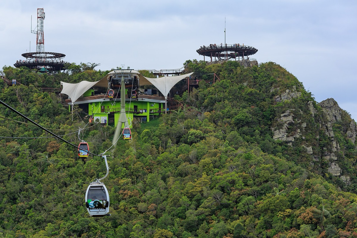
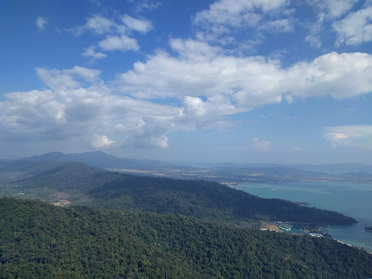
The reward is the arrival: stepping out of the forest onto the summit area among tourists in sandals, sweaty and happy, and then riding down the cable car in fifteen minutes if it is running. It is a fine way to understand how old and wild this corner of the island is.
The story
The Machinchang ridge has been protected forest for decades, and the steep Cambrian rock never suited farming or plantations. As a result, the western slopes hold some of Langkawi’s best remaining lowland and hill forest, with flying lemurs (colugos), hornbills, and a range of orchids and pitcher plants on the exposed ridges.
Geologists come here to see the boundary between the old sandstones and younger rocks, and the geopark authorities have marked a few sites where the layers are visible. Ripple marks from an ancient seabed, preserved in stone, can be found if you know where to look; a good guide will show you.
The trail was used long before the cable car, by local hunters, honey collectors and later forestry workers. Today guided treks follow the same line, and the guides are mostly local men who grew up nearby and can name trees by their bark and smell.
In the legend of the two giants, Mat Cincang was turned to stone on this very ridge, still glaring across the plain at his old rival on Gunung Raya. When thunder rolls along the summit in the wet season and mist pours over the rock, it is easy to see why the story has lasted.

Getting there
Start at the Seven Wells car park, reached by taxi from Pantai Cenang in about 25 minutes. The trail begins above the upper pools; the first section is the same as the waterfall steps.
Most visitors book a guided trek through a local operator, which usually includes transport and sometimes the cable car ticket down. If walking independently, tell someone your plan and check whether the cable car is operating, or you face a long, knee-crushing descent.
A suggested plan
- 7 amStart from the Seven Wells car park with plenty of water.
- MorningClimb past the pools and into the forest; rest at the first rocky viewpoint.
- Late morningSteep section to the ridge; watch for monkeys and hornbills.
- MiddayReach the summit area, eat, and walk the platforms or the Sky Bridge.
- AfternoonRide the cable car down to Oriental Village, if it is running.
Where to stay
Stay near Pantai Kok or Teluk Burau for an early start; Pantai Cenang is also fine with a pre-booked taxi.
Good to know
- Carry at least two to three litres of water per person.
- Start early; afternoon storms are common.
- Wear proper shoes, not sandals; the rock can be wet even in the dry season.
- Leech socks help after rain.
- Do not attempt the trail alone or in heavy rain; it is easy to lose the path and slips are common.
- Check the cable car is running before relying on it for the descent.
- Heat exhaustion is a real risk; turn back if anyone feels unwell.