Gunung Raya: the island from the top
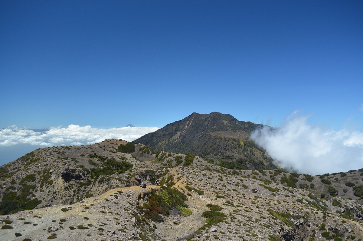
A narrow road through dense forest to the island’s highest point, where hornbills call, mist drifts through the trees and the whole archipelago lies spread below.

- Area
- Mountains & rice country
- Start from
- Kuah or Pantai Cenang
- Distance
- about 10 km of winding road up the mountain
- Time needed
- half a day
- Best season
- December – March for clear views
- Difficulty
- Easy
- Transport
- Car or scooter
- Tickets & rules
- None
Why go
Gunung Raya, at about 880 metres, is the highest mountain on Langkawi, and unlike Machinchang you can drive almost to the top. The road begins in the rice fields near the island’s centre and climbs steadily through thick forest, all hairpins and green shade.
Near the summit there is a lookout and a rather tired old resort area, but the real reward is the panorama on a clear day: Kuah and its harbour to the south, the rice plains and Pantai Cenang to the west, the Thai islands to the north and the many small islands to the south.
I came up in the late afternoon and watched a pair of great hornbills crossing from tree to tree with their heavy, whooshing wingbeats, and then the mist rolled in and took everything away. It is a place for slow drives and long pauses.
The story
In the legend of Mat Raya and Mat Cincang, this is the mountain of Mat Raya, the giant who quarrelled with his neighbour at their children’s wedding. During the fight, the pot of gravy was spilled at the place now called Kuah, which means ‘gravy’, and the pot broke at Belanga Pecah, the ‘broken pot’ village.
The hot water that splashed during the fight is said to be the source of Air Hangat, a hot spring village near the foot of the mountain. The giants were turned to stone as punishment, becoming the two great mountains of the island.
The forest of Gunung Raya is one of Langkawi’s richest, with a mix of lowland and hill species and plenty of wildlife. Birdwatchers come for hornbills and other species that are hard to see elsewhere.
The summit area once had more tourist facilities, and the remains can feel a bit eerie, especially in fog. Locals sometimes joke that the giant is still up here, sulking in the cloud, and I didn’t argue as the mist closed in.
Getting there
The road to Gunung Raya starts near the centre of the island, around 20–30 minutes by car from Kuah or Pantai Cenang. It is narrow and winding, fine for careful driving.
There is no public transport. Scooters can manage the climb, but brakes must be good for the descent.
A suggested plan
- Early morningDrive up for clear views and birds.
- At the topWalk to the lookout and take in the panorama.
- Mid-morningDrive down slowly, stopping at forest viewpoints.
- Late morningVisit Air Hangat hot springs or nearby villages.
- LunchEat in Kuah or near the rice fields.
Where to stay
Kuah is closest to the mountain road; Pantai Cenang also works. No accommodation on the summit itself.
Good to know
- Go early for clarity; haze and clouds build up by midday.
- Bring a jacket; it can be cool at the top.
- Drive slowly to spot wildlife.
- Check your vehicle’s brakes before the descent.
- The road is steep and narrow; use low gear on the way down.
- Mist can reduce visibility suddenly.
- Do not feed monkeys along the road.