Durian Perangin: cascades in the north-east forest
A shady forest staircase beside a series of cascades and pools, where local families come to cool off and the dry-season crowds never quite arrive.

- Area
- Mountains & rice country
- Start from
- Kuah
- Distance
- about 15 km from Kuah, then a short forest walk
- Time needed
- half a day
- Best season
- September – December after the rains; thin in the dry season
- Difficulty
- Easy
- Transport
- Car, scooter or taxi
- Tickets & rules
- None; small parking fee possible
Why go
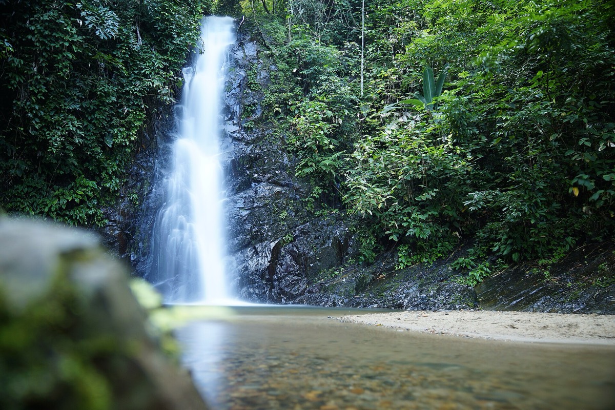
Durian Perangin is a waterfall in the forested hills of the north-east, inside a recreation forest that most foreign visitors never find. A paved path and stairs follow the stream uphill past a chain of small falls, each dropping into its own pool, with picnic shelters and rocks to sit on along the way.
After a few weeks of rain it is lovely: white water sliding over grey rock, the air cool and full of spray, and the pools deep enough for a proper swim. In March and April it can shrink to a trickle, which is worth knowing before you make the trip.
I came on a weekday in October and shared it with a school group, two old men soaking their feet and a kingfisher that kept returning to the same branch. It is the kind of place where you bring a book and forget to read it.
The story
The name is often explained as a mix of the durian tree and the word angin, wind, in the sense of a breezy place where durian trees grew. Whatever its origin, the surrounding hills are still dotted with smallholdings and fruit orchards, and in the durian season, roughly mid-year, the roadside stalls fill with the spiky fruit.
The area was developed as a recreation forest by the state forestry department, which is why it has stairs, shelters and toilets rather than just a jungle trail. For local families it is a classic weekend outing, often with a pot of rice and curry carried up to the pools.
The stream rises on the slopes connected to Gunung Raya and flows down to the north-east coast. Like most of Langkawi’s waterfalls, its strength follows the monsoon closely, and older villagers can tell you which years the water roared and which years it ran dry.
The forest along the stream holds monkeys, squirrels, monitor lizards and plenty of birds. Look for the long-tailed macaques fishing in the shallows; they sometimes scoop up small crabs with surprising skill.
Getting there
The waterfall is about 25 minutes by car from Kuah and around 45 minutes from Pantai Cenang, on the road toward the north-east. Signs point the way from the main road.
There is no public transport. Taxis can wait for an agreed fee; ride-hailing cars may take a while to arrive this far out.
A suggested plan
- MorningDrive from Kuah through the countryside, stopping at fruit stalls.
- Mid-morningWalk up the stairs, passing each cascade in turn.
- Late morningChoose a pool for a swim and a long rest.
- MiddayPicnic in the shelters or head back to Kuah for lunch.
- AfternoonCombine with the Galeria Perdana, Kilim or Tanjung Rhu.
Where to stay
Kuah is the closest base. Kilim and Tanjung Rhu are also nearby; Pantai Cenang works as a longer day trip.
Good to know
- Check how much rain there has been before you go.
- Weekdays are quiet; weekends bring families.
- Bring a towel and a change of clothes.
- Swimwear is fine in the pools, but cover up on the walk.
- Rocks are very slippery; climb with care.
- After heavy rain, stay out of fast-flowing water.
- Keep food closed; monkeys are opportunistic.