Into the forest of Phu Quoc National Park
Walk under tall dipterocarp trees and along clear streams in the protected forest that still covers most of northern Phu Quoc.

- Area
- North & national park
- Start from
- Duong Dong
- Distance
- about 20–30 km to the park edge; walks of 3–10 km
- Time needed
- 1 day
- Best season
- November – April for drier trails; lush but muddy in the wet season
- Difficulty
- Moderate
- Transport
- Taxi, hired car or scooter; on foot with a guide
- Tickets & rules
- Ranger or guide arrangements for deeper trails; ask at the park office
Why go
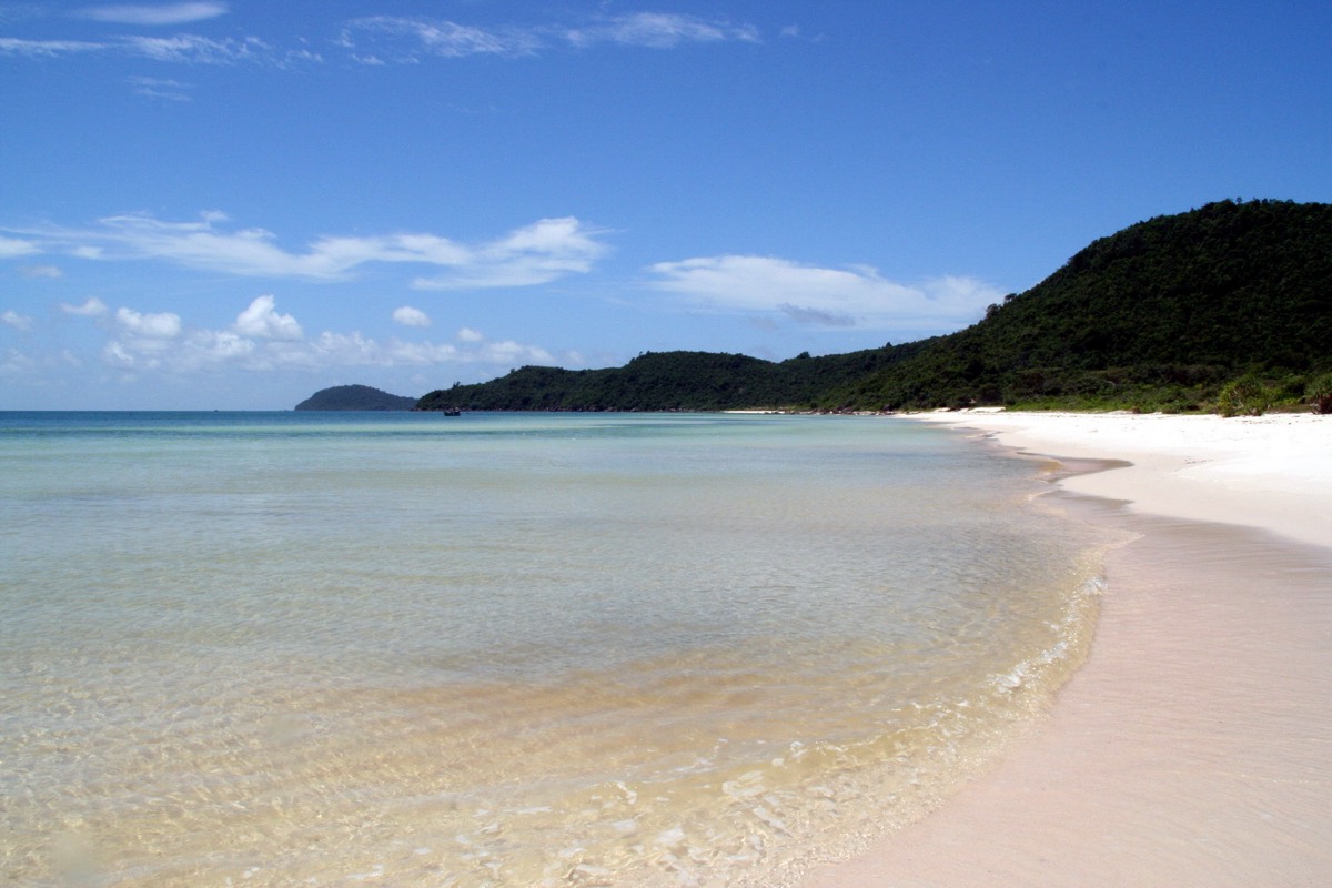
It surprises many visitors to learn that more than half of Phu Quoc is protected forest. The national park covers most of the north of the island, a long spine of low hills with tall evergreen trees, streams, rocky outcrops and a coastline of mangroves and empty beaches.
Walking here, the island changes completely. The air is cooler and damp, the light green and broken, and the noise of motorbikes gives way to cicadas, birds and the occasional crash of a falling branch. You may see long-tailed macaques, squirrels, hornbills if you’re lucky, and a lot of unidentifiable insects with spectacular colours.
Even a few hours on a simple trail gives a sense of what Phu Quoc looked like before the roads and resorts.
The story
Phu Quoc National Park was established in 2001, covering around 31,000 hectares, a large share of the island. In 2006 it became part of the core zone of the Kien Giang biosphere reserve recognised by UNESCO, along with mangroves and seagrass beds on the mainland coast.
The forest is mainly lowland evergreen and semi-evergreen, with tall dipterocarp trees, rattans, palms and ferns. On rocky ground there are patches of drier forest, and near the coast mangroves and swampy areas. Scientists have recorded many plant and animal species here, some found only in this part of Vietnam.
Historically, the forest was used for timber, resin and hunting, and some areas were cleared for farming. Since protection began, logging has been banned and some degraded areas are regenerating. Pressures remain, including encroachment and development at the edges, which is one reason rangers patrol the boundaries.
For islanders, the forest is also a source of water. Streams in the north feed the rivers and reservoirs that supply towns, and as tourism grows, the importance of protecting these catchments becomes more obvious.

Getting there
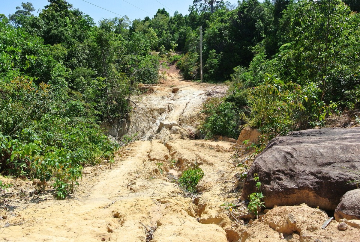
The park headquarters and several access points are along the roads north of Duong Dong. Your hotel can help you contact the park office or a local guide to arrange a walk. Simple trails near the edges can be walked independently, but deeper routes need permission and a guide.
Allow 30 to 45 minutes by car from Duong Dong to most trailheads, depending on the route.
A suggested plan
- 7:00Leave Duong Dong early with water, snacks and long trousers.
- 8:00Meet your guide or ranger at the agreed trailhead; check the route and conditions.
- 8:30–12:00Walk through forest along streams and ridges, stopping to look for birds and plants.
- 12:30Lunch in a village near the park edge or a picnic at a suitable spot.
- 14:00Continue to Ganh Dau or a northern beach for a swim and sunset.
Where to stay
Base yourself in Duong Dong or at the northern end of Long Beach for easy access. A few eco-lodges and quiet resorts near the north coast are good for longer stays close to the park.
Good to know
- Wear proper shoes with grip and long trousers; leeches and thorny plants are common in wet months.
- Carry more water than you think you’ll need; it’s humid even under the trees.
- Go with a guide for anything beyond the most obvious trails; paths can be confusing.
- Don’t enter restricted areas without permission; rangers patrol and fines are possible.
- Snakes are present but rarely seen; watch where you put your hands and feet.
- Heavy rain can make streams rise quickly; don’t cross fast-flowing water.