The Ha Giang loop
A breathtaking motorbike journey through karst mountains near the Chinese border, along the Ma Pi Leng pass and into some of the wildest landscapes in Southeast Asia.

- Area
- Northern mountains
- Start from
- Ha Giang town
- Distance
- about 350 km loop
- Time needed
- 3–4 days
- Best season
- September – November; buckwheat flowers in October–November
- Difficulty
- Hard
- Transport
- Motorbike with a local ‘easy rider’ driver, or a car with a driver
- Tickets & rules
- Check locally whether a permit for the border area is currently required; usually arranged by guesthouses
Why go
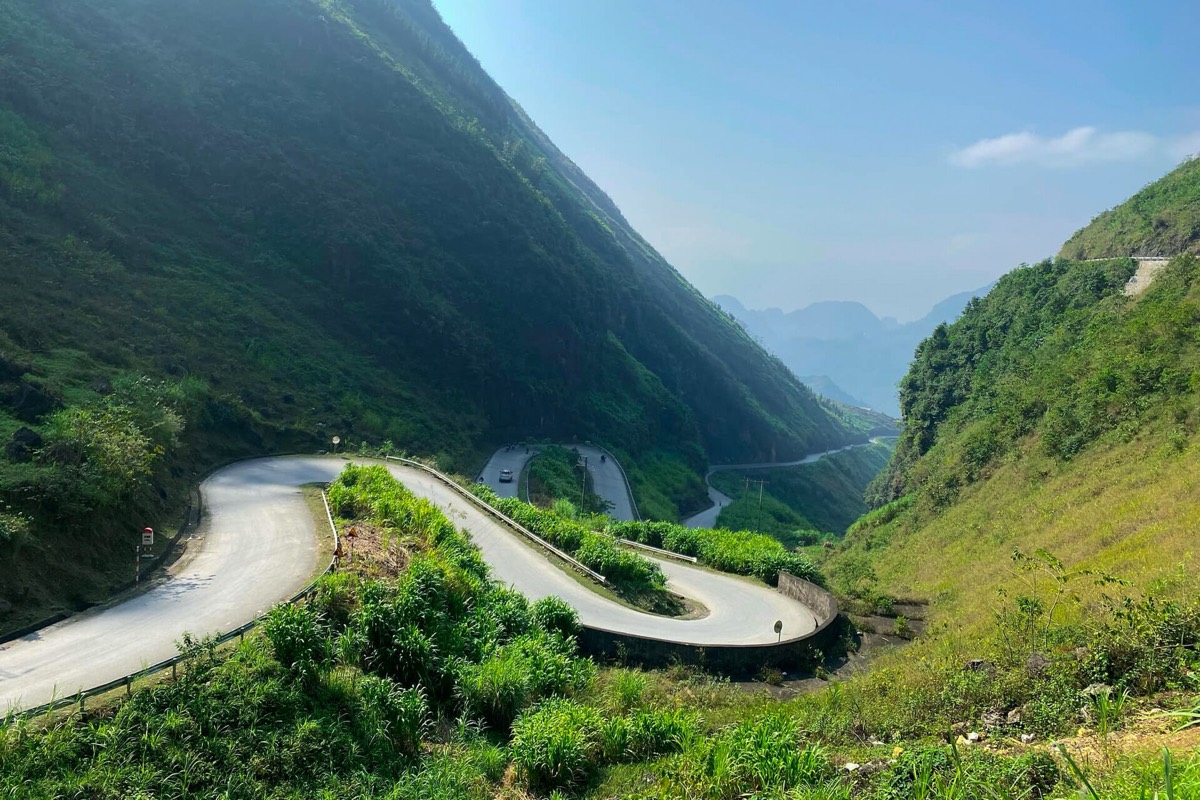
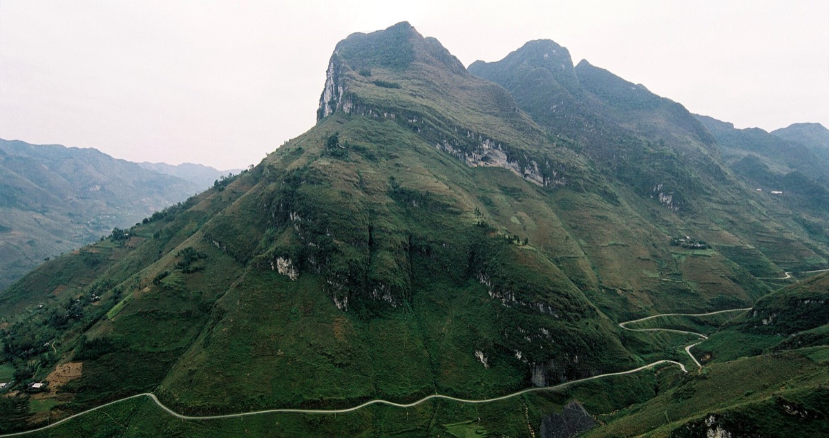
The Ha Giang loop is one of the great road journeys of Asia. Roads twist along the edges of limestone mountains, villages cling to steep slopes, and every pass opens onto another view more dramatic than the last. Hmong farmers grow corn in tiny pockets of soil between rocks on almost vertical hillsides.
Most people do it on the back of a motorbike with an experienced local driver, an easy rider. It’s the safest way and frees you to look around.
Three or four days gives you time for markets, homestays and the long, unforgettable evenings in the mountains.
The story
The far north of Ha Giang is the Dong Van Karst Plateau, recognised as a UNESCO Global Geopark in 2010. It is grey, rocky and stark, with fossils dating back hundreds of millions of years.
In Sa Phin valley stands the Vuong family palace, built in the early twentieth century for the Hmong leader Vuong Chinh Duc, who controlled the region and grew wealthy, partly from opium. Its mixture of Chinese, French and Hmong styles is remarkable.
Near Lung Cu, a flag tower marks the area close to Vietnam’s northernmost point. Ma Pi Leng pass, between Dong Van and Meo Vac, runs high above the Nho Que river, which cuts the deep Tu San canyon below; in the dry season the water turns an extraordinary emerald.
The Quan Ba Heaven’s Gate looks over a valley with two rounded hills known as the fairy’s breasts. In October and November, the pink and white flowers of buckwheat cover the fields.

Getting there
Ha Giang town is around 300 km north of Hanoi. Sleeper buses and limousine vans take about 6–7 hours; most leave in the evening or early morning. Guesthouses in town arrange the loop with drivers, motorbikes and homestays.
Riding yourself requires a valid licence, full insurance and real mountain experience.
A suggested plan
- Day 1Ha Giang to Quan Ba Heaven’s Gate and Yen Minh through pine forests.
- Day 2Yen Minh to Dong Van via the Vuong palace and Lung Cu.
- Day 3Ma Pi Leng pass and the Nho Que river, with a boat on the river if possible, then on to Meo Vac.
- Day 4Meo Vac to Du Gia or straight back to Ha Giang through quieter valleys.
Where to stay
Homestays along the route in Yen Minh, Dong Van, Meo Vac and Du Gia. Dong Van’s old quarter is particularly atmospheric at night.
Good to know
- Use an experienced local driver unless you are a very confident rider.
- Meo Vac and Dong Van hold Sunday markets; schedule the loop to be there.
- Bring warm clothes even in autumn; mornings on the passes are cold.
- Take cash; ATMs are scarce outside Ha Giang town.
- Road accidents are the biggest risk: hairpins, gravel, trucks and fog. Wear a proper helmet and don’t ride at night.
- Travel insurance often won’t cover you if you ride without a valid licence.
- Rains and landslides in summer can close roads for days.