Sunrise Above the Clouds at Pha Daeng
A steep forest trail climbs from Nong Khiaw to a ridge-top viewpoint where, on cool mornings, you look down on a sea of cloud pierced by limestone peaks.

- Area
- Nong Khiaw & the Nam Ou
- Start from
- Nong Khiaw
- Distance
- about 2 km up, roughly 500 m of climb
- Time needed
- half a day
- Best season
- November – February for mist and clear skies
- Difficulty
- Moderate to hard
- Transport
- On foot from the town
- Tickets & rules
- Small trail fee
Why go
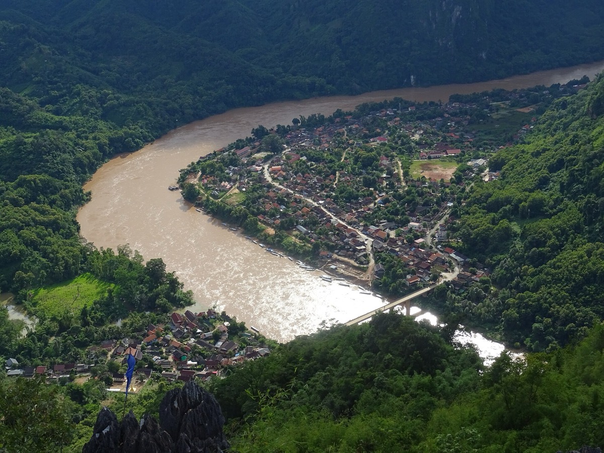
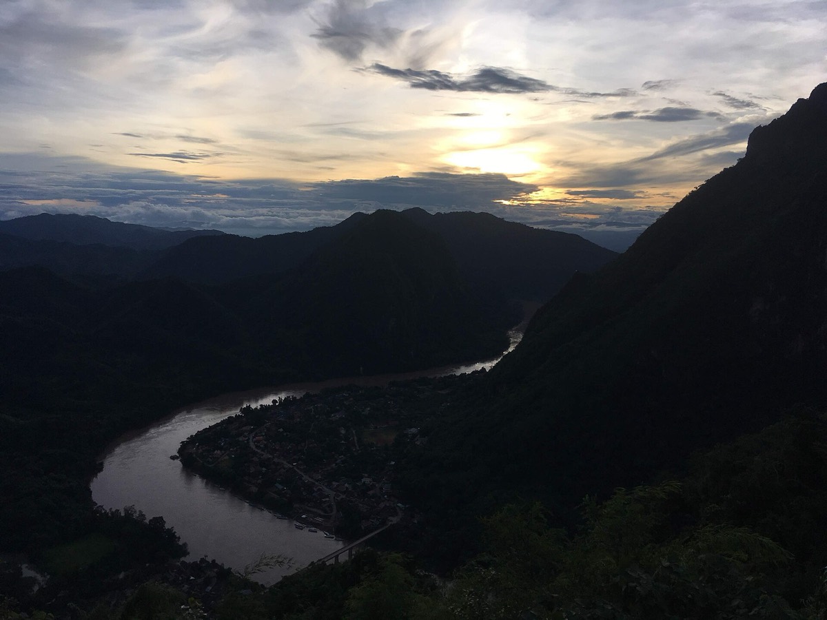
The Pha Daeng viewpoint is the reason many people come to Nong Khiaw. The trail climbs steeply through the forest above the town, and after about an hour or more you emerge on a ridge with a view down the Nam Ou valley, the river curling between the karsts and the bridge tiny below.
In the cool season, the valley often fills with mist overnight, and at sunrise you stand above a sea of white cloud, with only the tops of the mountains rising through it. As the sun climbs, the mist slowly burns away to reveal the town and the river beneath.
It is hard work, but it is one of the most spectacular views in northern Laos.
The story
The trail was cleared by local villagers as tourism grew, and the small fee collected at the start pays for its upkeep and for the viewpoint platforms at the top.
The mist that fills the valley in the cool season is a result of cold air settling in the valley overnight and the humidity of the river. By mid-morning it usually rises and disappears, so timing is everything.
The forest along the trail is secondary growth, with bamboo, banana and tall trees, and you may see birds and butterflies. The slopes have long been used for shifting cultivation, and you can see patches of rice and crops on the hillsides around.
In recent years, several viewpoints have opened on the hills around the town. Pha Daeng is the best known, but ask locally about others, some of which are shorter and less crowded.

Getting there
The trailhead is a short walk from the town, on the eastern bank of the river. Ask your guesthouse for the exact start and current conditions.
Start in the dark with a headlamp if you want to reach the top for sunrise.
The path is unmistakable for most of the way but has no handrails on the steepest sections, where roots and rocks serve as steps. Allow roughly an hour and a quarter up at a steady pace, more if you stop often, and about an hour down. There are simple benches and a small shelter near the top, and sometimes a villager selling water and coffee in high season, but do not count on it.
A suggested plan
- 5:00Leave your guesthouse with a headlamp, water and a warm layer.
- 5:15Pay the trail fee and start the climb.
- 6:30Reach the top in time for sunrise over the mist.
- 8:00Descend carefully as the mist lifts.
- 9:00Breakfast by the river and a well-deserved rest.
Where to stay
Stay in Nong Khiaw; the trailhead is within walking distance of most guesthouses.
Good to know
- Wear good shoes; the path is steep and can be slippery.
- Bring a warm layer for the top in the cool season.
- Carry enough water and a snack.
- The descent can be harder on the knees than the climb; take it slowly.
- Avoid the trail after heavy rain when it becomes dangerously slippery.